")
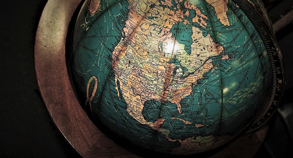

Este modo de proyectar la superficie terrestre permitía elaborar mapas y planificar rutas marítimas y terrestres de una forma más cómoda que las proyecciones más precisas.
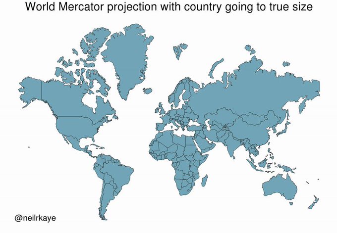
Animating the Mercator projection to the true size of each country in relation to all the others.Focusing on a single country helps to see effect best.#dataviz #maps #GIS #projectionmapping #mapping

Rusia, Canadá, Estados Unidos y Escandinavia son las zonas que se reducen de una forma más drástica y sorprendente.

A mosaic of world countries retaining their correct size and shapeThis demonstrates you can’t fit shapes on a sphere back together again once you put them on the flat
See @BojanSavric for a great new equal area projectionen.wikipedia.org/wiki/Equal_Ear…#dataviz #mapping #GIS #maps
https://mundo.sputniknews.com/ciencia/201810241082943027-mapamundi-es-diferente-de-lo-que-pensabas/
El Blog de Mario publicó este post siguiendo la regla de creative commons. Si usted no desea que su artículo aparezca en este blog escríbame para retirarlo de Inmediato
Sigue @oiram window.twttr=(function(d,s,id){var js,fjs=d.getElementsByTagName(s)[0],t=window.twttr||{};if(d.getElementById(id))return;js=d.createElement(s);js.id=id;js.src=»https://platform.twitter.com/widgets.js»;fjs.parentNode.insertBefore(js,fjs);t._e=[];t.ready=function(f){t._e.push(f);};return t;}(document,»script»,»twitter-wjs»));
function googleTranslateElementInit() { new google.translate.TranslateElement({pageLanguage: ‘es’, layout: google.translate.TranslateElement.InlineLayout.SIMPLE}, ‘google_translate_element’); } //translate.google.com/translate_a/element.js?cb=googleTranslateElementInit
